BUET-IWFM

SLIDER DETAILS

POST DESCRIPTION


Integrated Assessment for the Bangladesh Delta Plan 2100: Analysis of selected interventions

Short Description: This book is based on research conducted since 2010, funded by the Ecosystem Services for Poverty Alleviation (ESPA) interdisciplinary research programme as the ESPA Deltas project.

Date: March 25, 2024


Executive Summary

The Ganges-Brahmaputra-Meghna delta covers most of Bangladesh and parts of West Bengal in India and has a population exceeding 100 million. The ESPA Deltas study area considered the seaward part of the delta in Bangladesh, south of Khulna and west of the Meghna River to the Indian border. This is a densely populated and fertile region where poverty is still significant and widespread. Rural livelihoods are inextricably linked with agriculture, fisheries and the natural ecosystems, which are exposed to longterm environmental changes including rising salinity, subsidence, sea-level rise and storm surge.

The ESPA Deltas project (www.espadeltas.net) undertook an ambitious, interdisciplinary study of coastal Bangladesh and the lives of the millions of people who benefit from them. Many of the project’s findings are integrated into the Delta Dynamic Integrated Emulator Model (ΔDIEM), which is designed to analyse the present and future of the delta in a policy-relevant way. It was recognised at a workshop in Dhaka in October 2016 that the ΔDIEM offered a useful tool to assess proposals within the Bangladesh Delta Plan 2100 (BDP 2100) in terms of their effects on ecosystems services and livelihoods. Hence, a pilot application of ΔDIEM was trialled based on selected proposals in the BDP 2100. The ESPA Deltas team worked with the Bangladesh Planning Commission of the Government of Bangladesh to use ΔDIEM to assess selected development options being considered as part of the BDP 2100. These options include the role of embankment maintenance, a new green belt ‘buffer’ zone along the coast, a strengthened coastal sea wall, and new polders in the south-central region to promote agriculture. Of these projects, the new polders in the south-central district appear most beneficial both in terms of enhancing incomes and removing people from poverty. However, trade-offs with neighbouring regions due to displaced flooding need to be evaluated and suitable compensatory measures undertaken. The results also show that good maintenance of the existing polder embankments across the region is likely to maintain agriculture and associated livelihoods over the next few decades. The greenbelt and enhanced sea wall have less benefit over the next few decades, although they reduce the likelihood of embankment breaching during cyclones which is an important concern in this region.

This pilot project demonstrates how integrated assessment models of socio-ecological systems such as ΔDIEM can complement traditional project appraisal tools. They provide robust analysis to inform policy aiming to meet a range of development targets such as the Sustainable Development Goals (SDGs) and to inform long-term and complex policymaking initiatives such as the BDP 2100. Further development of tools such as ΔDIEM is recommended, with this needing to occur in the context of the national priorities.

This book was first published in 2019.

See PDF File

    RESERACH UPDATE

  • IWFM Day: Reception of Ex-Faculty Members, Employees and PhD Graduates on 3rd March 2024

    READ POST

  • IWFM arranged a picnic for Faculty and Stuff at Mawa Resort on 15 February, 2024

    READ POST

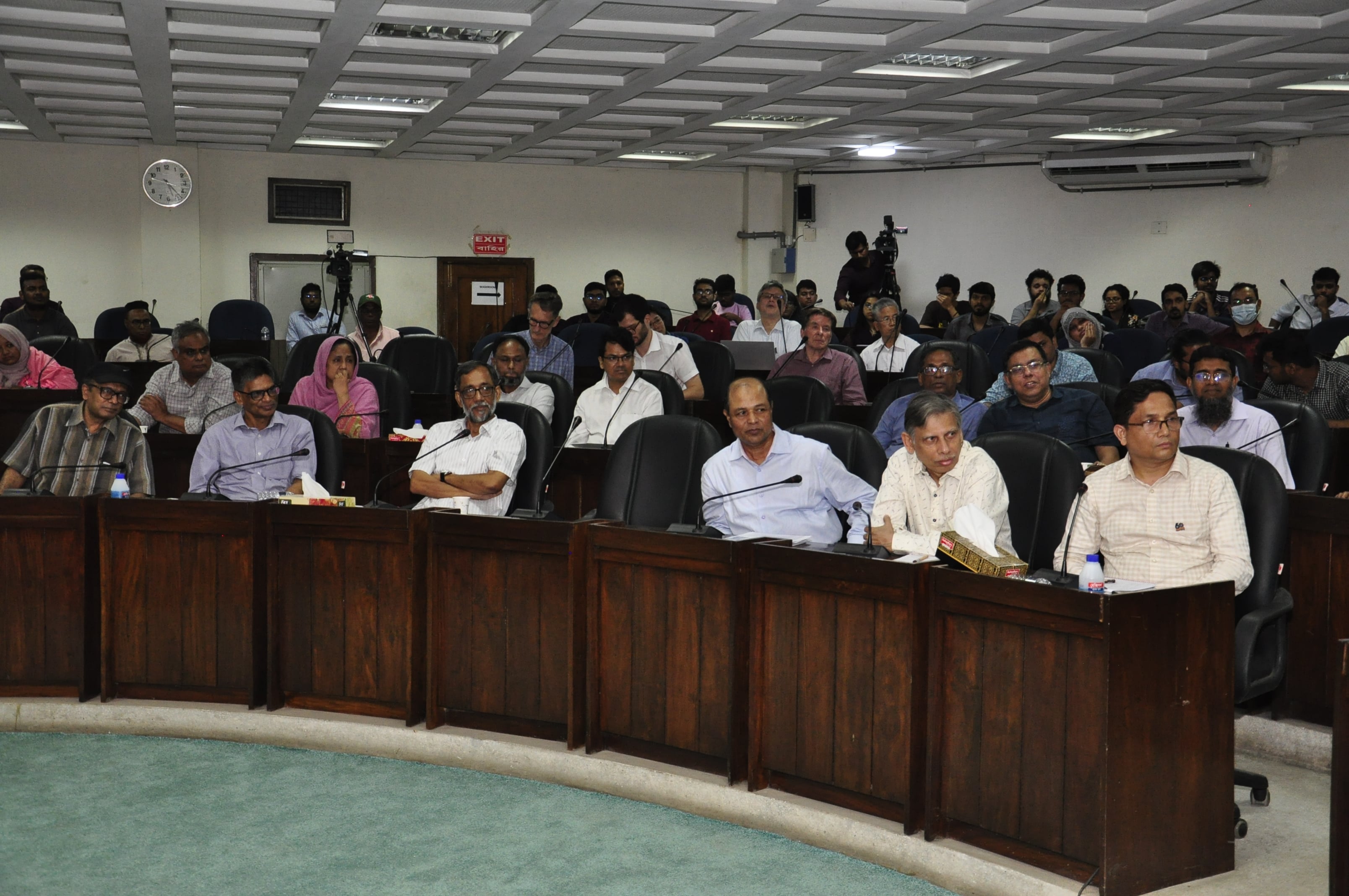
  • IWFM arranged a Workshop titled – “Managing the Future of the Brahmaputra Jamuna River Systems in Bangladesh”

    READ POST