STUDENT ACTIVITY
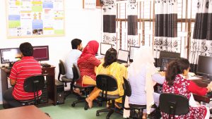
Project work is going on in The Remote Sensing and GIS Laboratory
Date: April 3, 2018
 The Remote Sensing and GIS Laboratory of the Institute began in 2004.The hardware of the Laboratory includes: 15 high-speed computers for image processing and geospatial analysis, hand-held stereoscopes for visual image interpretation, printer and scannerThe Remote Sensing and GIS Laboratory of the Institute began in 2004.The hardware of the Laboratory includes: 15 high-speed computers for image processing and geospatial analysis, hand-held stereoscopes for visual image interpretation, printer and scanner
